El Niño odds spike to 61% as scientists warn of possible 'very strong' climate event
Forecasters estimate a 61% chance El Niño will develop between May and July, with a 25% probability it could become "very strong," raising global temperature concerns.
11:02 AM
A potentially significant El Niño is taking shape in the Pacific Ocean, with the National Weather Service Climate Prediction Center forecasting a 61 percent chance the climate pattern will develop between May and July. The latest outlook also shows a 25 percent probability that the system could grow into a "very strong" event, raising concerns among meteorologists watching rapidly shifting ocean-atmosphere conditions.
The update comes after La Niña, which dominated the most recent winter, officially ended, clearing the way for a transition in the tropical Pacific tied to the broader climate cycle known as El Niño-Southern Oscillation. The pattern alternates between its warm phase, El Niño, and its cooler counterpart, La Niña, with neutral periods in between.
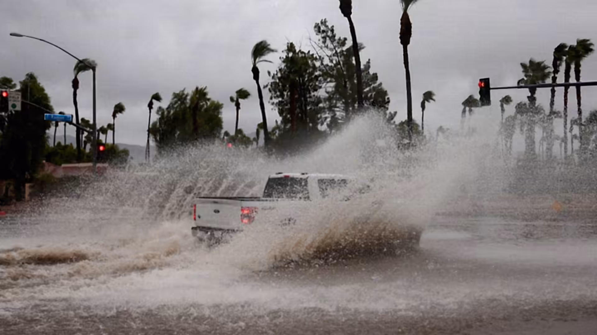
El Niño conditions develop when weakened trade winds allow unusually warm water to build across the central and eastern tropical Pacific. When warmer-than-normal waters gather in the east of the equatorial Pacific and extend toward the American continent, this phenomenon tends to boost global temperatures and can stunt the Atlantic hurricane season.
Ocean temperatures for March hit near-record highs, according to the European Union's Copernicus Climate Change Service. The warmest March for oceans on record was in 2024, during which the El Niño climate cycle drove temperatures up. Current records reflect "a likely transition toward El Niño conditions," Copernicus said.
The World Meteorological Organization has similarly forecasted a cycle shift this year, predicting that the cooling La Niña cycle will give way to neutral conditions before swinging into El Niño later in 2026. The UN's weather agency warned that Earth's climate is further out of balance than at any time in recorded history, with the planet gaining much more heat energy than it can release, driven by emissions of warming gases such as carbon dioxide.
Federal weather scientists say a strong El Niño weather pattern is likely to develop later this year and persist through the rest of the year. The National Oceanic and Atmospheric Administration estimates there is a 62 percent chance that El Niño will emerge between June and August, a significant change from a February prediction that suggested 60 percent odds the pattern would develop in the fall.
El Niño years can bring hotter temperatures, more extreme droughts and more intense rainfall. The developing El Niño could reshape the 2026 hurricane season, which kicks off June 1, by shifting the number and intensity of storms, according to NOAA's Climate Prediction Center. Forecasters are also predicting a one-in-three chance of a super El Niño in October, November, and December.
In the United States, March was the most abnormally hot month in 132 years of records, according to federal weather data. Scientists fear that the natural warming phase expected to begin later this year could soon bring further heat records. The World Meteorological Organization warned that every key climate indicator is flashing red, with the last 11 years representing the Earth's warmest period on record.