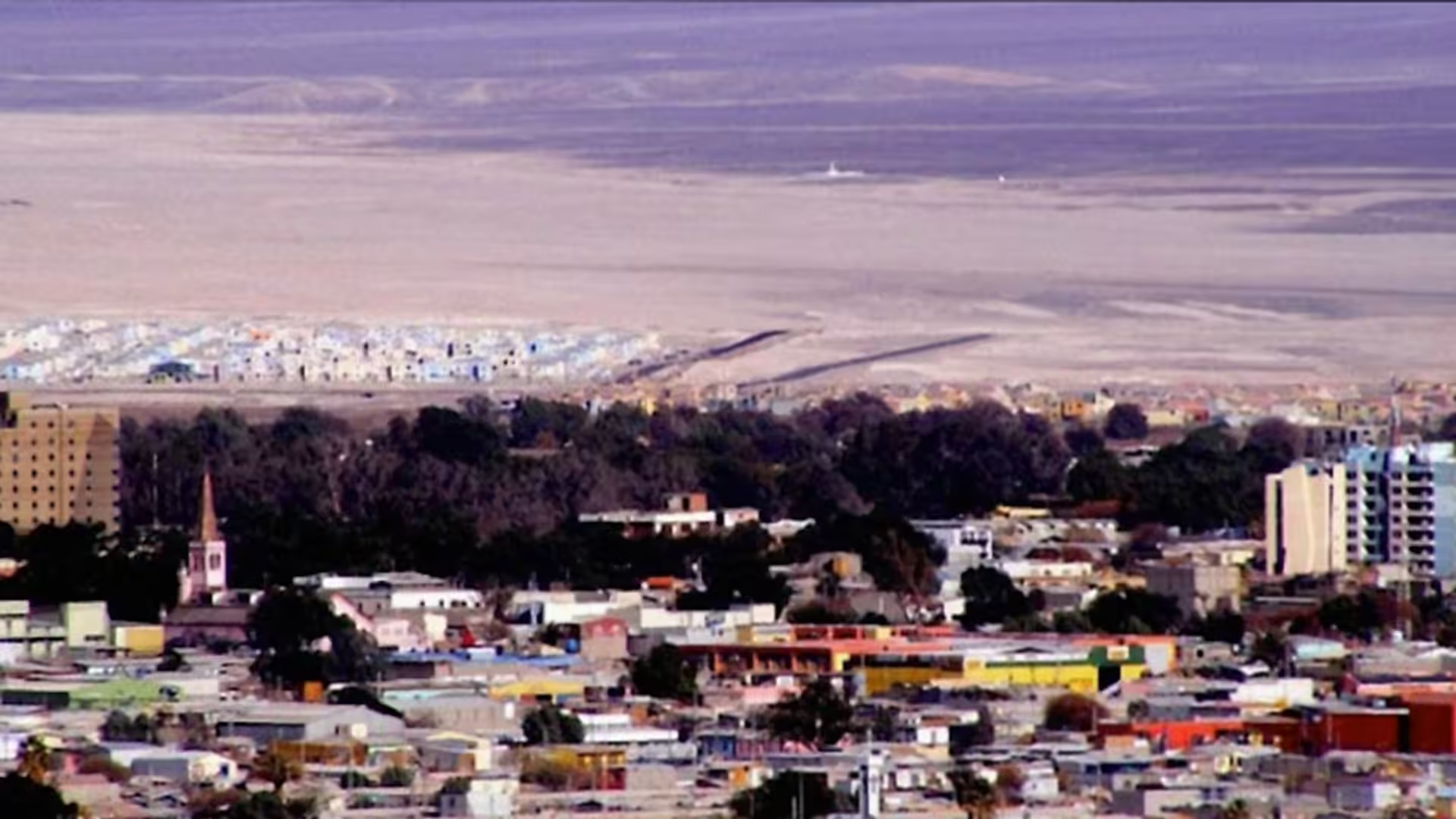
A magnitude 6.9 earthquake struck northern Chile on Monday afternoon, with its epicenter located near Calama in the Antofagasta region. The National Seismological Center reported the main shock occurred at 17:52 local time, with the epicenter positioned between 7 and 20 kilometers northeast or southeast of Calama at depths ranging from 94 to 137 kilometers according to various preliminary reports.
The tremor was felt across the regions of Arica and Parinacota, Tarapacá, Antofagasta, and Atacama. The Hydrographic and Oceanographic Service of the Chilean Navy ruled out tsunami conditions for the country's coasts based on the earthquake's characteristics.
The Electricity and Combustibles Superintendency reported that 27,138 clients in Calama lost power, with an additional 173 affected in Mejillones, 8 in Antofagasta, and 1 in Tocopilla. By 18:00 hours, 87.1 percent of regional clients had restored service, though significant outages persisted in some areas.
A water main rupture in Calama's distribution system left between 3,000 and 4,000 clients without potable water supply. The National Disaster Prevention and Response Service confirmed that primary damage concentrations occurred in Calama and interior communes including San Pedro de Atacama, with reports of rockfalls and material slides on connecting routes.
Structural damage was documented at the second fire station in Calama. Supermarkets and commercial establishments in the city sustained material damage. Video recordings circulated on social media showing immediate suspension of mining operations, with workers executing established safety protocols during the tremor. Mining operations at Zaldívar and Ministro Hales activated preventive evacuations and structural review protocols.
The National Geology and Mining Service activated emergency protocols immediately following the earthquake due to the high concentration of mining activity in the epicenter zone. Mining operations continued functioning with safety protocol reviews and internal monitoring, with no reported incidents in major mining facilities.
A sequence of aftershocks followed the main earthquake. The National Seismological Center recorded at least nine smaller earthquakes within the first hour. The strongest aftershock registered magnitude 4.3 at 18:03 hours, located 12 kilometers northeast of Calama at 106 kilometers depth. A second aftershock of magnitude 4.2 occurred at 18:08 hours from 38 kilometers northeast at 112 kilometers depth. A third measured magnitude 3.9 at 18:11 hours from 22 kilometers northeast at 112 kilometers depth. Additional aftershocks of magnitudes 3.4, 2.7, and smaller continued to be recorded in the region.
Social media users noted the earthquake's extended duration, with some comparing it to the tremor that preceded the 2010 earthquake in Chile.